You can find a beautiful house on the water and still struggle to get your boat out, wait on every bridge, or fight wakes that beat up your dock. If you run offshore at first light or plan to keep a serious center console or sportfisher at home, lot details matter more than curb appeal. You deserve a simple way to judge whether a Jupiter waterfront lot is truly premier. In this guide, you’ll learn the exact checks that separate top-tier lots from costly compromises, so you can buy with confidence. Let’s dive in.
The non-negotiables of a premier Jupiter lot
Fast, reliable ocean access
For active boaters, short and predictable runs to the Atlantic drive value. In Jupiter, buyers pay for lots that offer dependable depth and a clean route to the inlet with minimal bridge friction. Shoaling on the Intracoastal and near Jupiter Inlet can change your available draft and force detours, so verify conditions before you fall in love with a view. According to recent field reports, the Jupiter corridor can see episodic shoaling that impacts transit until dredged. Review recent updates on inlet and ICW conditions in resources that track mariner reports and dredging activity, such as the analysis on critical ICW shoaling in this region from Waterway Guide.
Key takeaways:
- Prioritize lots with “ready-now” ocean access and a predictable route to Jupiter Inlet.
- Confirm the whole route’s depth at mean low water, not just at the dock face.
- Budget time and fuel for any drawbridge openings on your typical run.
Read about ICW and inlet shoaling patterns that affect depth and routing.
Canal width and real turning room
A premier lot lets you maneuver without white-knuckle turns. Marina design guidance ties turning ability to your boat’s size. A practical rule is to target a turning-basin diameter of about 1.5 to 2 times your boat’s length overall for a comfortable one-pass turn in typical wind and current. Entrance and fairway widths are similarly expressed as multiples of beam or length, so you should convert your vessel’s dimensions into real space requirements before you commit to a lot.
In Jupiter, many mid-sized yacht owners look for usable canals near 40 to 50 feet wide as a comfortable threshold for 40 to 50 foot boats. If the narrowest navigable pinch point is less, expect more stress and possibly towing help when winds pick up.
What to do at a showing:
- Measure the narrowest navigable width between seawalls or obstructions, not the average width.
- Identify nearby turning basins and confirm their diameter relative to your boat’s LOA.
- Ask for recent soundings or a tracklog that shows practical maneuvering room at low tide.
Use ASCE marina design ratios to translate your LOA and beam into fairway and turning needs.
Depth, shoaling risk, and dredging
Depth at mean low water sets your real draft limit. Shoaling near Jupiter Inlet and at some ICW crossings can reduce usable depth until maintenance occurs. Do not assume the depth shown on a dated chart is what you will find next season.
Smart checks:
- Obtain a recent bathymetric sounding or survey tied to mean low water along the entire route.
- Confirm whether the canal or basin is on a public dredge schedule and who pays if depths drop.
- Review Local Notices to Mariners for recent alerts that indicate reduced depths or shifting channels.
See a recent LNM example for the region and how these notices flag real-time navigation changes.
And for a broader view of current issues on the ICW near Jupiter, consult this shoaling analysis and field reporting.
Bridges, air draft, and opening schedules
Your boat’s air draft must clear every bridge reliably. In the Jupiter corridor, several bascule bridges present closed clearances in the mid-20s to mid-30s of feet, with regulated openings that add time to every run. Published clearances are tied to a tide datum, commonly mean high water, so your real clearance changes with tide height. If you run close to the posted number, treat your margin as zero on higher tides.
Action steps:
- Confirm closed vertical clearances on official charts and match them to your boat’s air draft.
- Check opening schedules and temporary restrictions in current Local Notices to Mariners.
- Time an actual run that includes typical bridge waits during your target boating season.
Review a local waterway overview and bridge data for the Jupiter area and cross-check with USCG Local Notices to Mariners.
Wake exposure and traffic density
Heavy wakes reflect off seawalls and can shorten the life of your dock and bulkhead. Properties near marinas, inlet entrances, or busy ICW segments tend to see more frequent wake energy. Posted speed or no-wake zones help, but they are not universal across the corridor.
How to assess it:
- Visit at different days and times to watch boat traffic and wake behavior first-hand.
- Ask neighbors or local captains about typical high-traffic windows.
- Use photos or short videos during a full tide cycle to document how wakes strike the seawall.
For context on how wake energy drives shoreline erosion and maintenance needs, see the EPA’s coastal marina guidance on wakes and shoreline impacts.
Views, orientation, and wind
Orientation shapes your daily experience. Jupiter’s prevailing winds often carry an onshore east-northeast component, which affects docking difficulty and cross-wind exposure in canals. Morning and evening sun angles also influence comfort on decks and salt spray exposure on facades.
Checklist:
- Note how the wind funnels through the corridor and how often docking will be wind-assisted.
- Consider sunrise and sunset angles based on the lot’s shoreline orientation.
- Evaluate privacy and view corridors relative to neighboring docks and fairways.
Review regional wind patterns and environmental context in the prevailing wind discussion for the area.
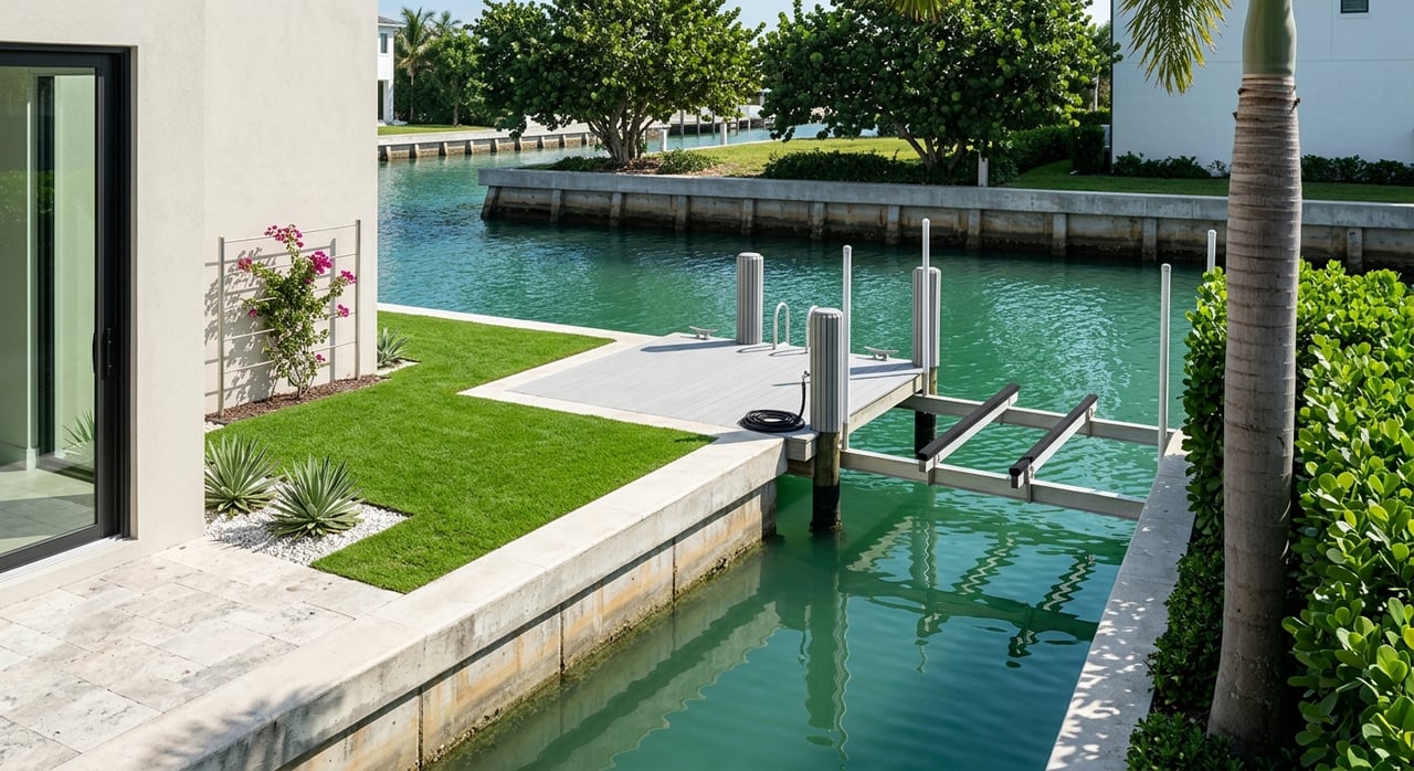
Seawall and bulkhead integrity
A premier lot has a seawall that is structurally sound and well documented. Visible bowing, panel separation, sinkholes behind the wall, corroded tiebacks, or blocked drainage are common red flags that can turn a yard into a rebuild project. Replacement often requires permits from multiple agencies and can involve landward relocation, which may change yard layout and usable dockage.
Best practice:
- Hire a marine structural engineer and diver to inspect the wall, toe, and tiebacks.
- Request as-built drawings, permit history, and any recorded repairs.
- If replacement is likely, obtain a repair versus replace estimate and a permitting path before finalizing price.
Learn the key inspection symptoms contractors flag and why they matter in this seawall failure and repair overview.
Permitting, ownership, and long-term obligations
In Jupiter and Palm Beach County, your timeline and options depend on the correct agencies and the property’s permitting history. Single-family docks may qualify for streamlined programs when criteria are met, but seawall replacements, dredge activities, or projects that affect navigable waters usually require full review and more time.
What to confirm early:
- Which authorities apply: Town of Jupiter for local shoreline and building code, Palm Beach County Environmental Resources, Florida DEP for sovereignty submerged lands and Environmental Resource Permits, and the U.S. Army Corps of Engineers for dredge and navigable waters.
- Whether submerged lands under or near your structure require a state lease.
- If your canal or community participates in a district that assesses owners for dredging or inlet management.
Start with the Town’s guidance on marine facilities and who regulates what in the Town of Jupiter FAQs. For county-level inlet management and dredging coordination that can influence maintenance schedules, see the Palm Beach County inlet management summary.
How to evaluate a specific lot: a simple sequence
Use this order of operations to protect your time and leverage contingencies well.
- Paperwork first
- Ask the seller for the current survey showing mean high and low water lines, as-built drawings for the dock, seawall, and lift, and the full permit history with any state or federal approvals.
- Check title for submerged-land leases, easements, and any recorded maintenance agreements for the canal.
- Marine inspections and route test
- Marine structural engineer with diver: inspect the seawall toe, tiebacks, panels, and drainage, and get a written repair versus replace scope.
- Licensed marine surveyor or captain: run the full route at low tide, record spot soundings, evaluate turning room, and time bridge waits.
- If needed: a geotechnical engineer for suspected soil loss or an environmental consultant if seagrass or living-shoreline work is likely.
- Verify depth and navigation alerts
- Pull the latest Local Notices to Mariners for your bridges and inlet section.
- Confirm any dredging plans that cover your canal or basin, and who pays.
- Insurance and flood readiness
- Order an Elevation Certificate if required and confirm flood zone data early to keep your timeline predictable.
- Operational proof
- Make a real transit during your typical season’s low-tide window and document depth, bridge timing, and wake conditions with video. This is the best way to validate the lot’s practical suitability for your boat.
Resources to consult during due diligence:
Pricing signals: pay a premium or plan a rebuild
When to justify a premium
- Ready-now ocean access with no fixed low-bridge conflicts, deep water at mean low, and comfortable turning room.
- Low anticipated maintenance: newer engineered seawall with clear permits and recent professional repairs.
- Orientation and shelter: lots shielded from prevailing winds and off main traffic lanes that enable easy single-handed docking.
When to price in a rebuild
- Evidence of toe loss, failing tiebacks, or widespread panel distress that points to imminent replacement.
- A permitting path that likely requires moving the wall landward or adding mitigation like a living shoreline, changing yard layout and dock geometry.
How to decide
- Weigh your use case. If you run offshore several days a week, short and predictable inlet access can outweigh modest seawall repairs. If the canal geometry or recurring dredge burden is marginal, those usually penalize value more than cosmetic seawall fixes.
Quick red flags before you write an offer
- No recent bathymetric survey and the lot sits near the inlet where shoaling is common.
- Missing permit history for seawall, dock, or lift, or evidence of unpermitted marine work.
- Narrow canal with no nearby turning basin while your planned LOA exceeds 40 feet.
- Visible sinkholes behind the wall, bowing panels, or patchwork repairs without engineer sign-off.
- Recurrent shoaling alerts in Local Notices to Mariners for the exact ICW segment you must use.
The bottom line
A premier Jupiter waterfront lot is not just about the view. It is the combination of fast, reliable ocean access, real maneuvering room, dependable depth, manageable wake exposure, sound shoreline structure, and a clean permitting path. When you check these boxes with the right experts and real route testing, you protect your time on the water and your long-term costs.
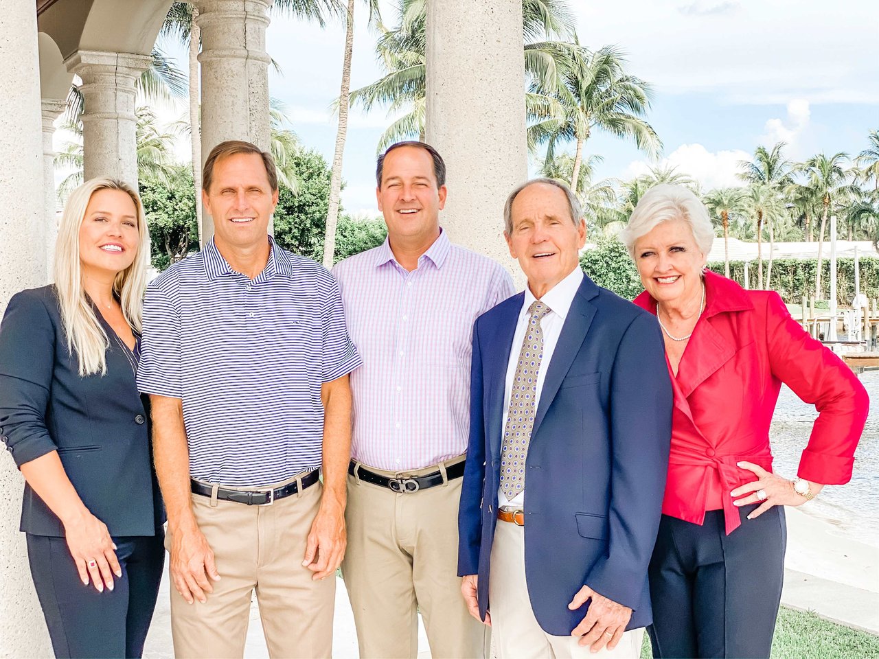
If you want a construction-savvy partner to help you evaluate dockage, seawalls, and true ocean access across Jupiter and northern Palm Beach County, connect with the team at Reback Realty. Our family has guided high-end waterfront purchases for decades, pairing local knowledge with practical, contractor-level insight. Let’s zero in on the lot that fits your boat, your rhythm, and your goals.
FAQs
What makes ocean access in Jupiter a real price driver?
- Reliable, short transit to the Atlantic with minimal bridge friction saves time on every run and reduces operating hassle, which buyers value highly. Shoaling and bridge delays add uncertainty and cost, so premier lots minimize both.
How wide should a canal be for a 45-foot boat?
- Use ratios from marina design: target a turning-basin diameter of roughly 1.5 to 2 times your LOA and ensure the narrowest fairway leaves comfortable room for approach. Many buyers prefer usable canals near 40 to 50 feet for mid-sized yachts.
How do I verify true depth from my dock to Jupiter Inlet?
- Order a recent MLW-referenced sounding along the entire route and review the latest Local Notices to Mariners for shoaling alerts. If possible, do a captain-led low-tide transit and log spot soundings.
Do bridge clearances change with tide in Jupiter?
- Yes. Published closed clearances are tied to a tide datum, often mean high water, so real clearance varies with tide height. If your air draft is close to posted numbers, treat the margin as zero on higher tides.
What seawall issues signal a likely replacement?
- Toe erosion and voiding, widespread bowing or panel separation, failing tiebacks, or significant soil loss behind the wall often point to replacement rather than repair. Get a marine engineer’s report before pricing.
Who permits seawalls and docks in Jupiter and Palm Beach County?
- Expect involvement from the Town of Jupiter, Palm Beach County Environmental Resources, Florida DEP for submerged lands and ERPs, and the U.S. Army Corps for dredge or navigable waters work. Confirm permit history early to avoid delays.